California
California
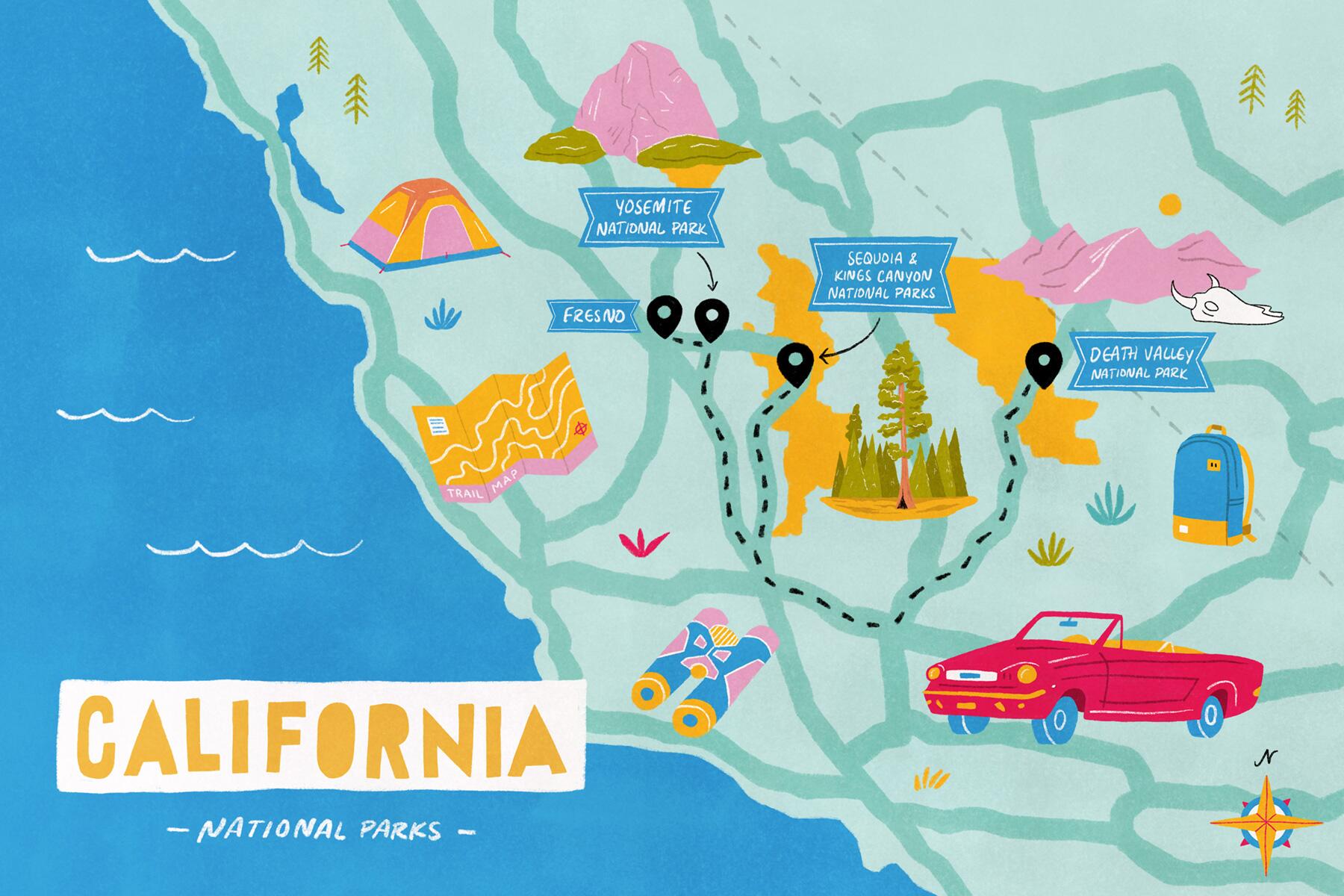
This trip takes you to California’s most popular national parks. Yosemite is a nearly 1,200-square-mile expanse in the western Sierras filled with meadows, waterfalls, and spectacular granite domes and canyons. Nearby Sequoia and Kings Canyon parks deliver spectacular alpine scenery along with the world’s largest trees. And Death Valley is a land of extremes, with its impossibly dry (and hot) below-sea-level basin alongside high mountain peaks and diverse wildlife.
The Itinerary
 DAY 1 Welcome to California
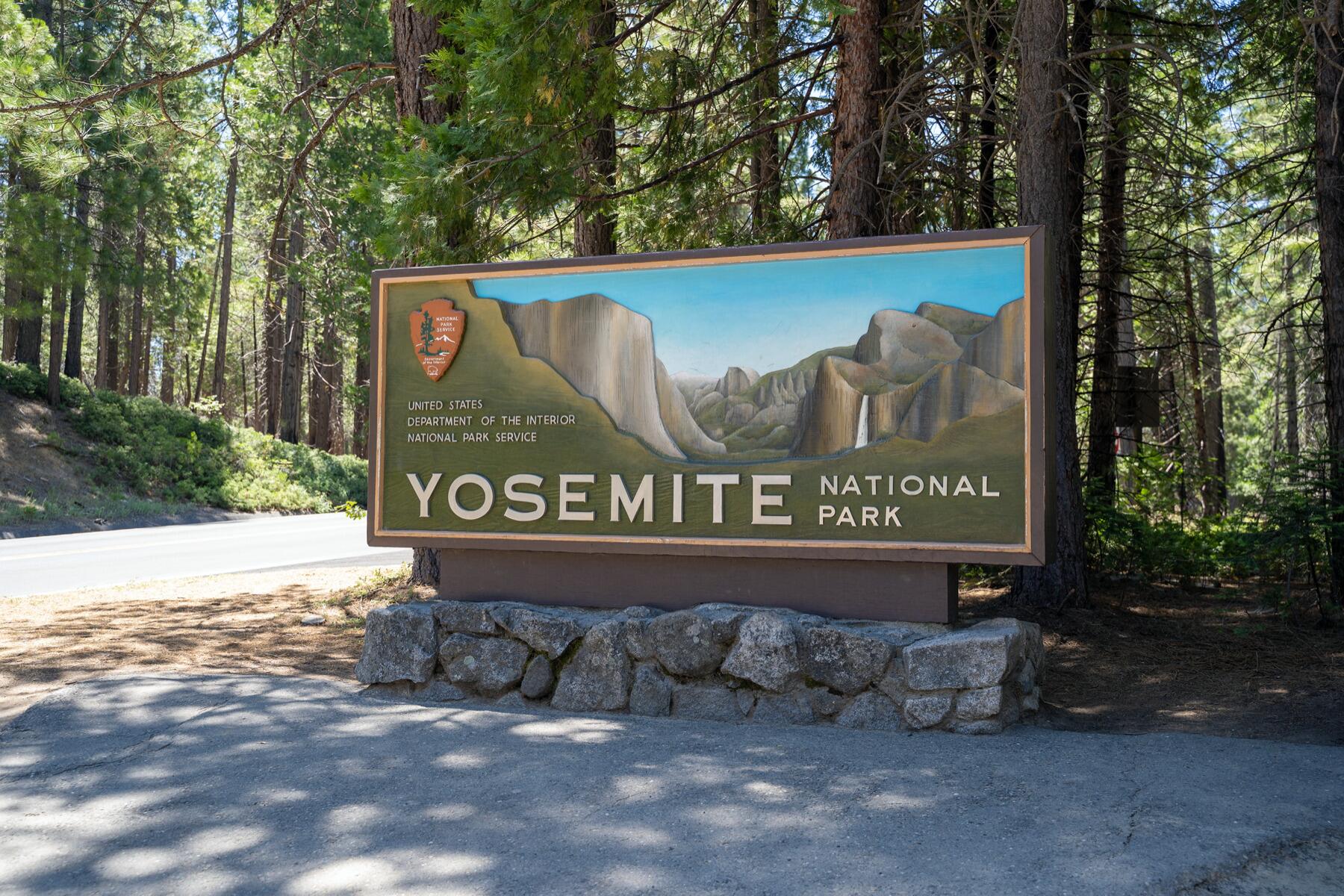 DAYS 2-4 Yosemite National Park
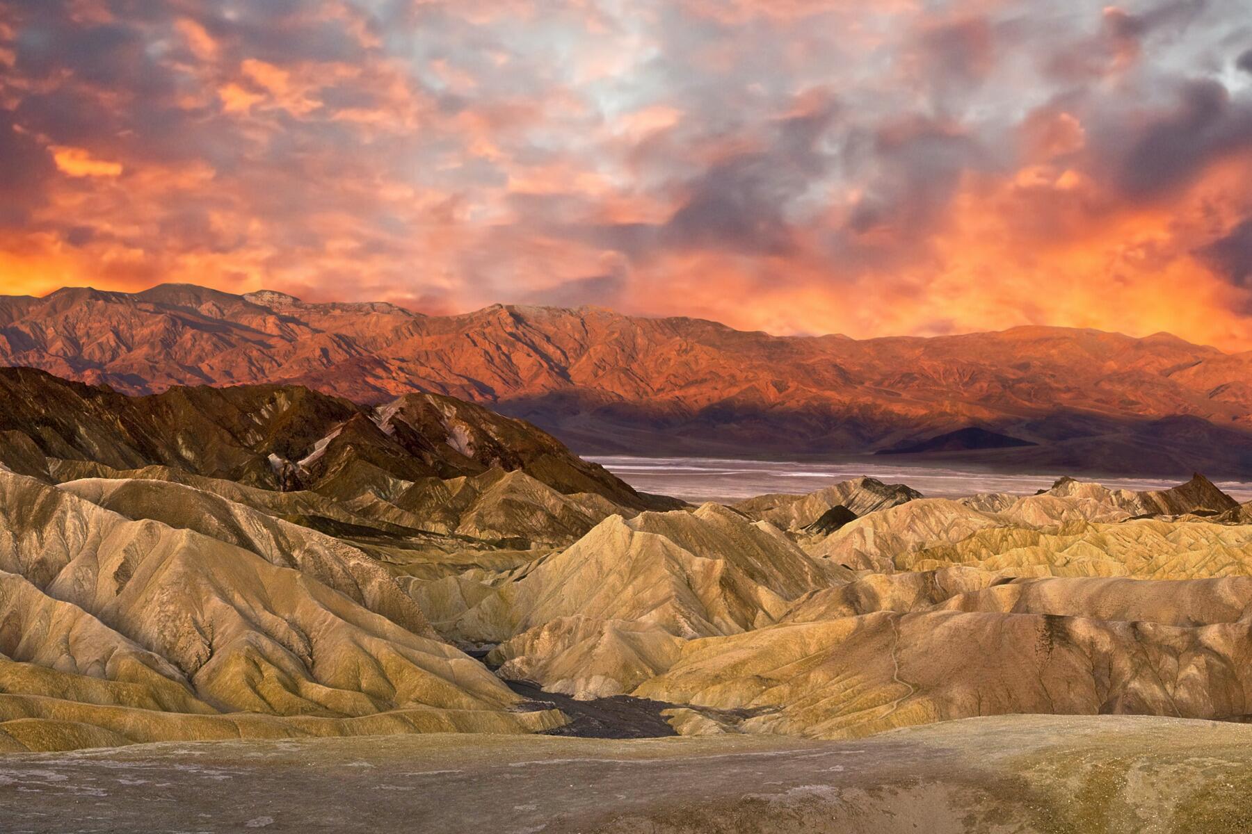 DAYS 5-6 Death Valley National Park
 DAYS 7-8 Sequoia & Kings Canyon National Parks
DAY 9 Heading Home
DAYS 7-8 Sequoia & Kings Canyon National Parks
DAY 9 Heading HomeAt A Glance
TRAVELED782SUGGESTED
DURATION9 DaysSTART &
END POINTFresno, CAPARKS
VISITEDYosemite National Park, Death Valley National Park, Sequoia and Kings Canyon National ParksBEST TIME
TO GOApr - Oct
National Parks Road Trips
-
![]() Best of Utah & Colorado
Best of Utah & Colorado -
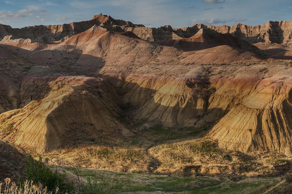
![]() Black Hills & Badlands
Black Hills & Badlands -
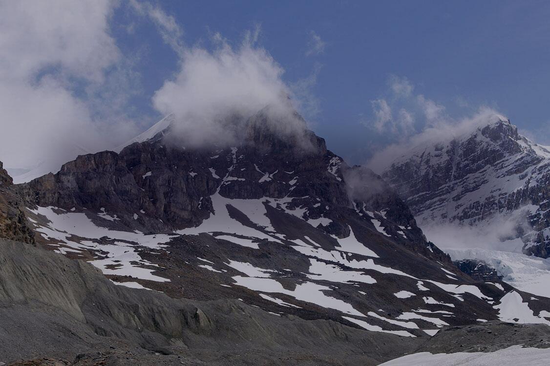
![]() Canadian Rockies
Canadian Rockies -
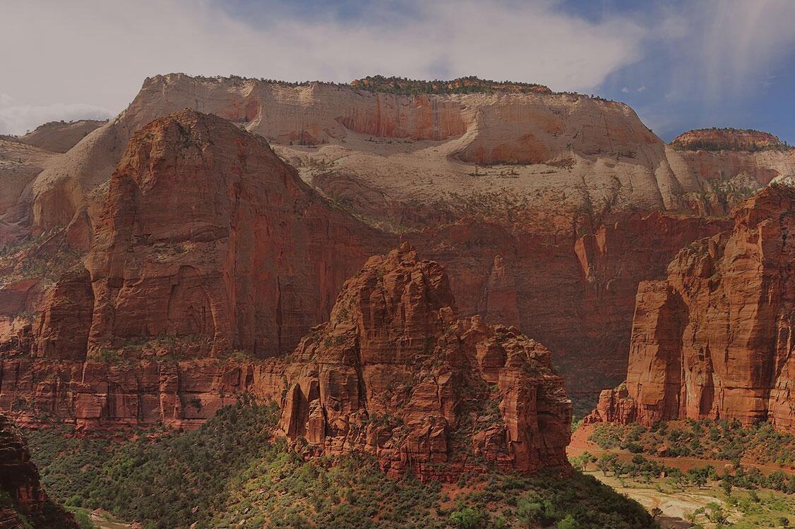
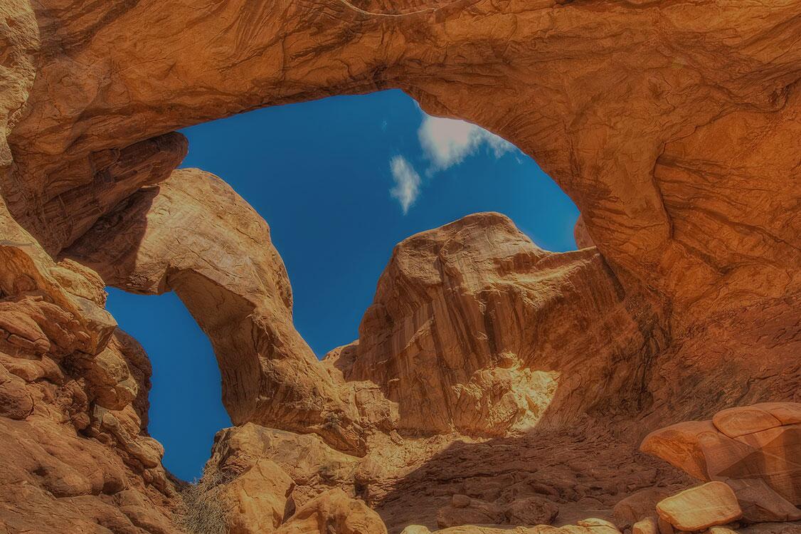
![]() Utah & Arizona
Utah & Arizona -
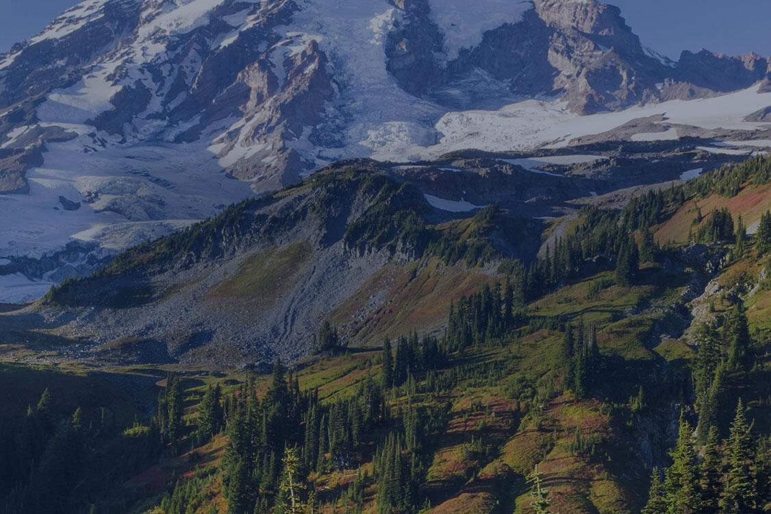
![]() Washington State
Washington State -
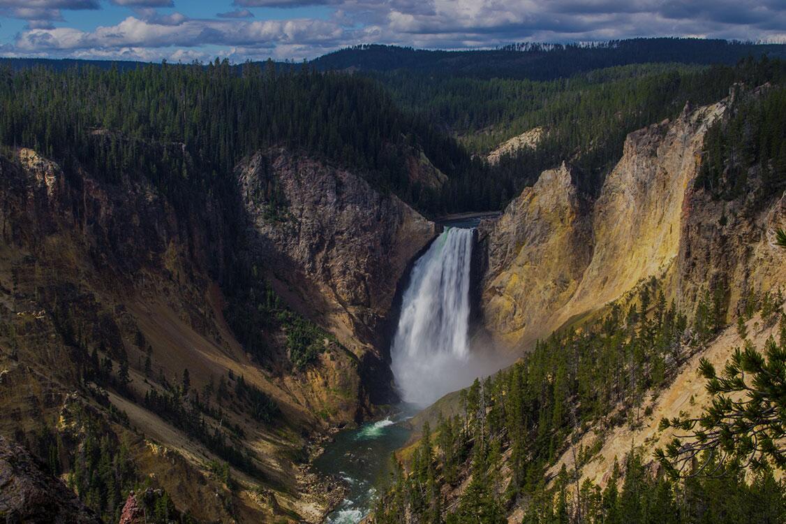
![]() Yellowstone & Grand Teton
Yellowstone & Grand Teton


Welcome to California
Park Highlights
- Day Trip
- Stunning Vistas
- Swimming
- Family
- Leaf-Peeping
- Waterfalls
- Kayaking
- Climbing
- Biking
- Rafting
- Hiking
- History
- Winter Sports
- Horseback Riding
- Fishing
- Beach
- Boating
- Bird-Watching
- Archaeological Sites
- Wild flowers
- Scenic Drives
- Geological Formations
- Wildlife
If you’re planning to start this trip with a flight, your best bet would be to arrive at Fresno Yosemite International Airport, which is reasonably close to Yosemite (your first stop) and Sequoia and Kings Canyon (your last), 70 miles (1½ hours) from Sequoia and Kings Canyon.
From the airport, head east toward Yosemite National Park and its Arch Rock Entrance, on the eastern side on El Portal Road. Depending on how much time you’ve got, either do some exploring (head for the Yosemite Valley Visitor Center, 16 miles from the entrance) or look for lodging. You can stay in the park (there are several options, from primitive camping to luxury rooms at the Ahwahnee Hotel) or in Mariposa, about 32 miles (45 minutes) southwest of the Arch Rock Entrance on Route 140.
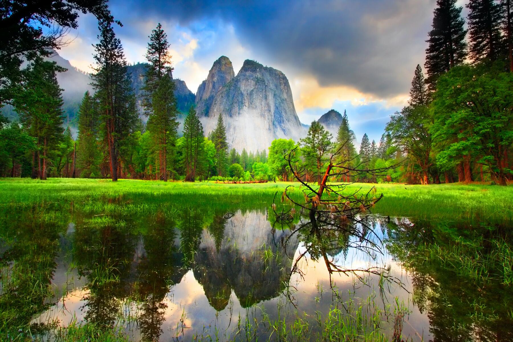
Yosemite National Park
Park Highlights
- Day Trip
- Stunning Vistas
- Swimming
- Family
- Leaf-Peeping
- Waterfalls
- Kayaking
- Climbing
- Biking
- Rafting
- Hiking
- History
- Winter Sports
- Horseback Riding
- Fishing
- Beach
- Boating
- Bird-Watching
- Archaeological Sites
- Wild flowers
- Scenic Drives
- Geological Formations
- Wildlife
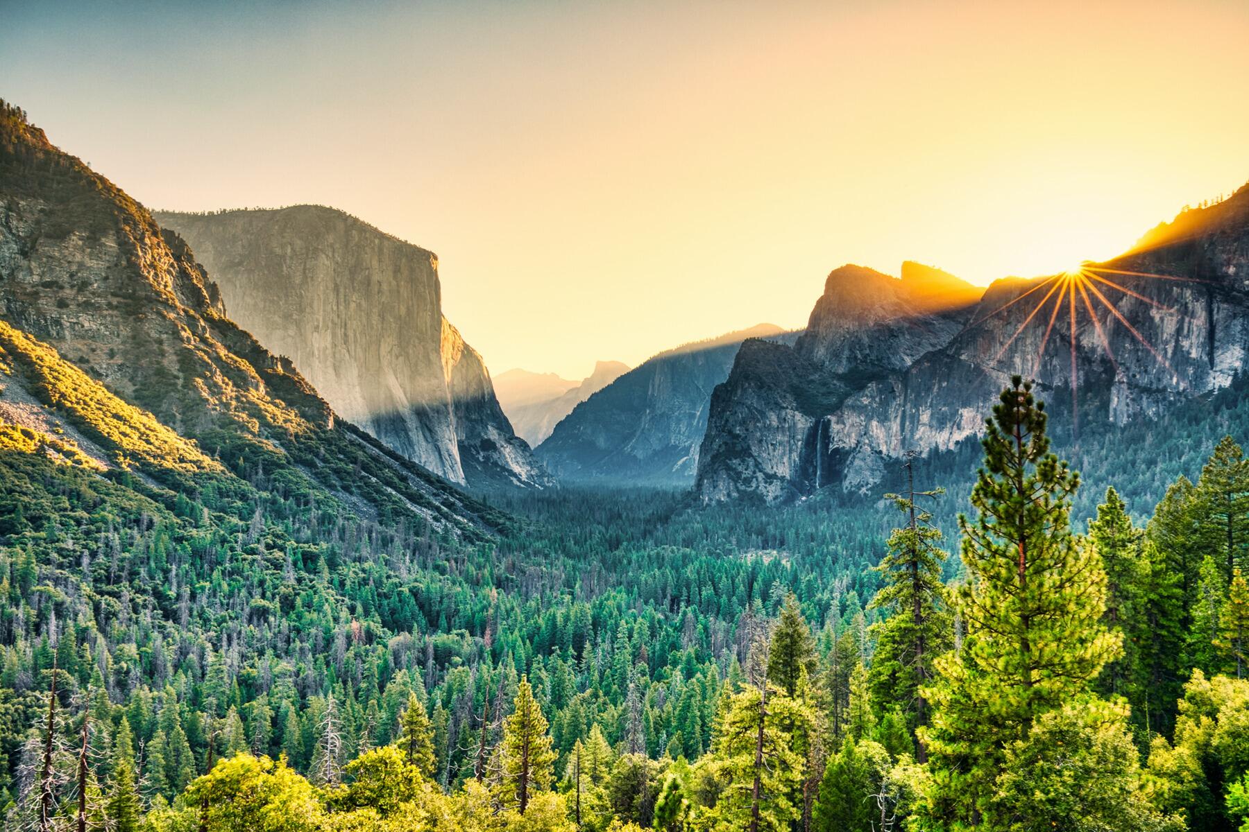
Early in the morning of Day 2, head into Yosemite Valley, near the center of the park, and take a hike on Lower Yosemite Fall Trail, an easy 1.1-mile loop. If you’ve got more time and ambition, continue on for the first mile of the Upper Fall Trail to Columbia Rock, where you’ll be rewarded with spectacular views of both the upper and lower sections of the highest waterfall in North America. Afterward, stop in at the historic Ahwahnee Hotel, then attend one of the ranger programs or a presentation at Yosemite Theater.
On your second day in the park, head back to the Yosemite Valley area and take an easy hike around Mirror Lake (5 miles round-trip) or a more strenuous trek to Vernal Fall (2.4 miles round-trip), then drop in at the Yosemite Museum (next to the visitor center) and the nearby reconstructed Indian Village. Drive up to Glacier Point for a valley-wide view, timing your arrival for sunset.
On your last day in the park, head east to Tuolumne Meadows, where you can stretch your legs with a hike (an easy option is the 1.5-mile round-trip trail to Soda Springs and historic Parsons Lodge). Then take a drive on Tioga Road, a 59-mile stretch through the high country that takes you over Tioga Pass (9,941 feet) and along the highest stretch of road in California. Leave the park through the Tioga Pass Entrance, then drive south 134 miles (about 2 hours, 15 minutes) to the town of Lone Pine, where you’ll spend the night.
Death Valley National Park
Park Highlights
- Day Trip
- Stunning Vistas
- Swimming
- Family
- Leaf-Peeping
- Waterfalls
- Kayaking
- Climbing
- Biking
- Rafting
- Hiking
- History
- Winter Sports
- Horseback Riding
- Fishing
- Beach
- Boating
- Bird-Watching
- Archaeological Sites
- Wild flowers
- Scenic Drives
- Geological Formations
- Wildlife
On Day 5, drive to Death Valley National Park, known as the lowest, driest, and hottest place in North America. Covering more than 5,300 square miles, it’s also the biggest national park in the lower 48, with vast expanses of desert and mountain ranges extending as far as the eye can see. But heat here is brutal (summer temperatures often exceed 120 degrees), so you should follow the park’s guidelines carefully: do not hike when temperatures are high (especially in the lower parts of the park), always carry water (even when you’re in a car), and keep your speed down when driving (and be sure to stay on paved roads).
Begin in the Furnace Creek area, roughly in the middle of the park. If you’re getting an early start, hike into Golden Canyon by taking the 1-mile-long interpretive trail, which starts 2 miles south of Highway 190 on Badwater Road. From there, head to Devil’s Golf Course (11 miles south of Furnace Creek) to see millions of tiny salt pinnacles and, if you get up close, a mass of perfectly round holes. Badwater Basin, 8 miles farther south, has expansive saltwater flats and the lowest point in the park, which is 282 feet below sea level. Then go to the highest spot—Dante’s View, 5,000 feet above the valley floor—for the best views and blessedly cooler temperatures (the lookout is about 20 miles southeast of Furnace Creek). If you want to hike, there’s a trail leading from the parking area onto Dante’s Ridge that offers even more spectacular vistas (it’s ½ mile to the first summit, then another 4 miles to Mt. Perry).
On your second day in Death Valley, explore the northern section of the park, near Grapevine Canyon (about 52 miles north of Furnace Creek). Uhebe Crater is visible from a turnout on the road. From there, if your car has high clearance and good tires, you can drive 27 miles southwest on a rough dirt road to the Racetrack, a phenomenal dry lakebed famous for its mysterious moving rocks (to see the rocks, drive 2 miles past the Grandstand parking area). From there, double back and drive another 3 miles east to Scotty’s Castle, a quirky historic mansion.
Leave the park and head toward Sequoia and Kings Canyon. Stop in Sanger, 280 miles (about 4½ hours) from Death Valley, to spend the night.
Sequoia & Kings Canyon National Parks
Park Highlights
- Day Trip
- Stunning Vistas
- Swimming
- Family
- Leaf-Peeping
- Waterfalls
- Kayaking
- Climbing
- Biking
- Rafting
- Hiking
- History
- Winter Sports
- Horseback Riding
- Fishing
- Beach
- Boating
- Bird-Watching
- Archaeological Sites
- Wild flowers
- Scenic Drives
- Geological Formations
- Wildlife
From Sanger, drive east to the Big Stump Entrance of Kings Canyon National Park. Inside the park, head to Grant Grove Village and stop at the visitor center there, then take the Kings Canyon Scenic Byway (Route 180) along the Kings River and its giant granite canyon that is well over a mile deep at some points. Stop along the way at pull-outs for long vistas of some of the highest mountains in the United States. Hike the Zumwalt Meadow Trail (1.5 miles), which starts just before the end of the road, 4.5 miles from Cedar Grove Village, for gorgeous views of the park’s largest meadow, plus high granite walls, talus, and the river below. At the end of the day, follow Route 180 back to Grant Grove Village and take Generals Highway south into Sequoia National Park. Leave through the Ash Mountain Entrance and head to the nearby town of Visalia (35 miles, about 46 minutes away) for the night.
Spend the next day exploring Sequoia National Park, where some of the world’s oldest and largest trees stand. Driving the winding, 40-mile-long Generals Highway takes about two hours. Be sure to stop at the Redwood Mountain Overlook, just outside Cedar Grove Village, for terrific views of the world’s largest sequoia grove. Take a hike on the Congress Trail (2 miles), which starts at the General Sherman Tree, the world’s largest tree, just off the Generals Highway near Wolverton Road. At the end of the day, head back to Sanger for the night.
Heading Home
Park Highlights
- Day Trip
- Stunning Vistas
- Swimming
- Family
- Leaf-Peeping
- Waterfalls
- Kayaking
- Climbing
- Biking
- Rafting
- Hiking
- History
- Winter Sports
- Horseback Riding
- Fishing
- Beach
- Boating
- Bird-Watching
- Archaeological Sites
- Wild flowers
- Scenic Drives
- Geological Formations
- Wildlife
From Sanger, it’s a short 13-mile drive (about 16 minutes) to the Fresno airport.
Book an Experience
in
{{gygActive}}
{{guide.destination.dest_name}}
{{ isMobile ? 'View All' : 'See All'}}
in {{gygActive}}